Satellite technology, increasingly applied across various sectors in China in recent years, has provided crucial support for disaster relief and rescue operations in the recent dike breach at Dongting Lake in central China.
China currently operates more than 900 satellites in orbit, ranking second globally. Its advancements in satellite technology, particularly in communications, navigation, and remote sensing, have greatly benefited various industries and numerous households.
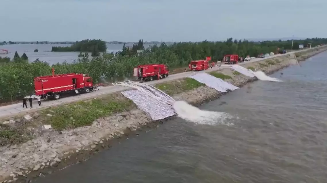
On July 5, floodwaters from torrential rain caused the breach at Dongting Lake in Huarong County, central China’s Hunan Province, with at least 7,000 residents having been evacuated since the dike burst.
Throughout the entire relief process, from sealing the dike breach to managing drainage, satellite technology has been indispensable, offering timely and comprehensive images of the flooded areas. Unlike ground-based photos limited by space and perspective, optical remote sensing images from satellites provided a comprehensive view of the disaster zone and images of submerged buildings from various angles. This helped local authorities make decisions for effective relief operations.
“Remote sensing satellites have provided us real-time images of affected areas, especially large-scale aerial images, which have been crucial in supporting the sealing and repairing of the breach. Firstly, these wide-ranging images provide precise location details, helping us organize post-disaster construction work in a scientific way. Secondly, real-time updates on land and water traffic conditions during the sealing process have enabled us to adjust construction activities effectively, ensuring productive operations,” said Zhang Xuanzhuang, director of the safety and environmental protection department at China Anneng Group First Engineering Bureau Co., Ltd.
Remote sensing satellite images have also provided information such as the speed of water flow and water levels in the flooded area, offering crucial details for emergency rescue operations.
The recent heavy rainfall also caused the most severe flooding on record in Hunan’s Pingjiang County, leading to communications disruptions at over 1,400 base stations. In response, local authorities deployed satellite communications drones to provide emergency communications for over 120,000 residents across nine towns and communities. These drones integrated with the satellite network, ensuring essential communications services in the affected areas.
Besides supporting relief efforts through communications services, China’s extensive satellite network also serves a wide range of sectors, including offshore fishing, geological exploration, and outdoor activities.
China’s satellite technology enhances disaster relief efforts
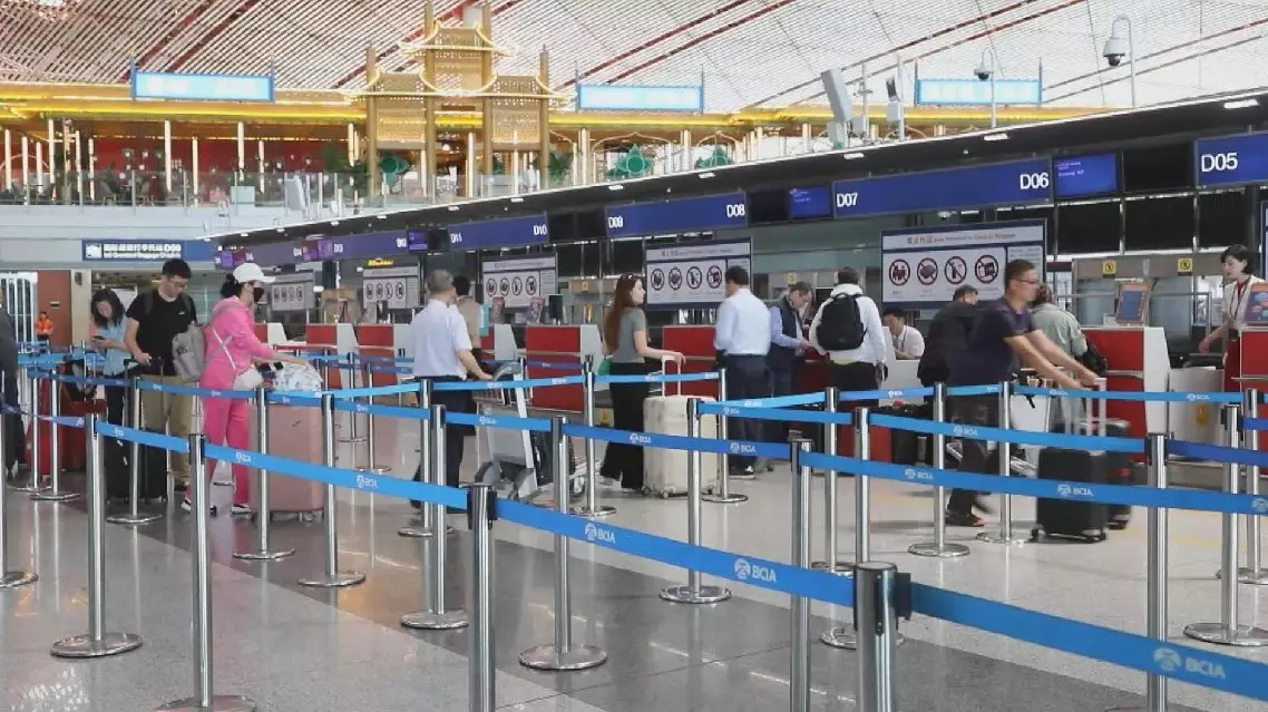
Chinese civil aviation is expected to handle about 133 million passenger trips during the ongoing summer travel rush, the Civil Aviation Administration of China (CAAC) said on Friday.
From July 1 to Aug. 31, the summer holiday period when students are off school nationwide, travel demand significantly increases.
Average daily air passenger trips are expected to hit 2.15 million, representing an increase of 10 percent over the same period in 2019 before the COVID-19 pandemic. The figure also marks a moderate growth of 5 percent from the same period last year, according to the CAAC.
Xu Qing, deputy director of the administration’s transportation division, noted that routes are increasingly connecting the country’s major urban clusters.
“Looking at the popular air routes, the domestic civil aviation passenger sources are still concentrated on the routes in the Beijing-Tianjin-Hebei region, the Yangtze River Delta region, the Guangdong-Hong Kong-Macao Greater Bay Area, and Chengdu-Chongqing economic zone,” Xu said.
“Booking data for domestic flights show that the top five destination cities are Beijing, Shanghai, Chengdu, Guangzhou and Kunming,” added the official.
China anticipates robust air travel demand during summer holiday season