The latest headlines from our reporters across the US sent straight to your inbox each weekday
Your briefing on the latest headlines from across the US
Your briefing on the latest headlines from across the US
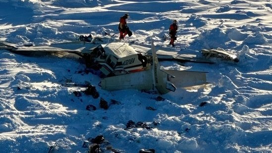
Nearly 100 million Americans are in the path of a winter storm moving across the country bringing significant snowfall this weekend.
Cities such as Chicago, New York and Boston are in the storm’s path with winter warnings being issued across the northern U.S.
“One good thing with this storm, it is moving pretty quickly, so it’s not gonna be a prolonged winter weather event,” said Bob Oravec, lead forecaster with the National Weather Service. “It looks like the snow will definitely be coming to an end earlier in the day on Sunday, after which the weather will be fairly tranquil for a few days.”

The National Weather Service said a storm over the central and southern plains will move northeastward Saturday, producing a swath of four to eight inches (10 to 20 centimeters) of snow across parts of Minnesota and the Great Lakes.
On Saturday night into Sunday, upstate New York and New England could see up to a foot (30 centimeters) of accumulation. Hazardous travel conditions were likely due to low visibility and snow-covered roads.
In New York City, forecasters are warning that three to five inches of snow could fall overnight. But, parts of the metro area could see as much as seven inches.
“Bring it on! We need just one BIG one and then Spring can arrive afterwards,” Rosemarie Armogan posted on Facebook ahead of the storm.
In Boston, the forecast calls for between five to eight inches of snow overnight and into the morning.
“Mother Nature is back, nothing we can’t handle as New Englanders… I remember the “Blizzard of 78” now that was a BIG SNOW STORM,” Facebook user Nancy Barter commented.
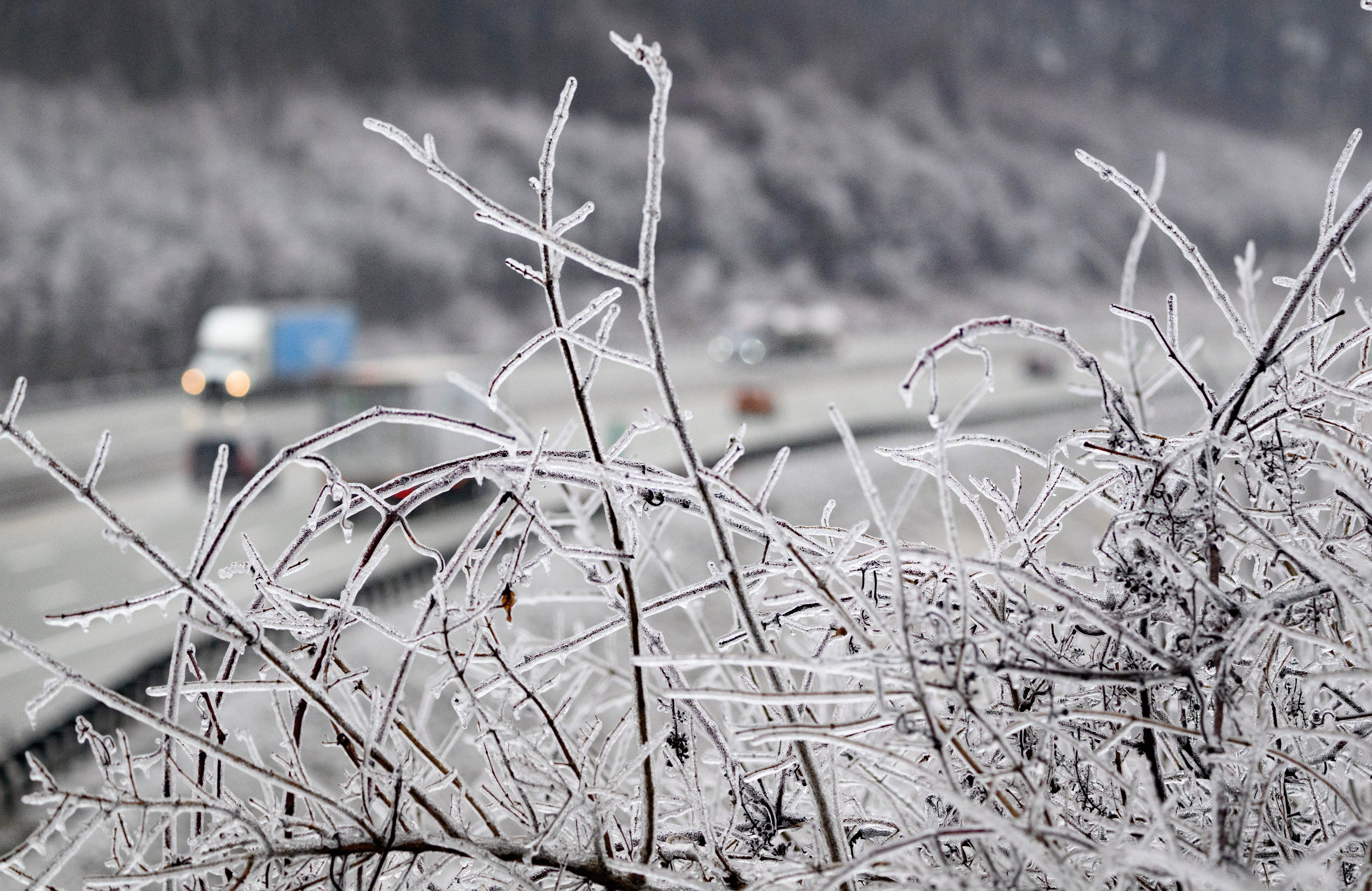
A mix of snow, sleet and freezing rain from the Ohio Valley into the northern Mid-Atlantic region could result in significant icing in the Central Appalachians, forecasters said.
Freezing rain on roads was expected to make travel dangerous, and power outages were possible.
“The most significant risk of icing lies across a swath of eastern West Virginia, far northwestern Virginia, Maryland and south-central Pennsylvania, where more than 0.25 of an inch of ice buildup is expected. This can again lead to downed tree limbs and power outages,” AccuWeather meteorologist Bill Deger said.