A Chinese company’s publication of AI-enhanced satellite images of US bases in the Middle East is helping Iranian forces identify targets, US intelligence believes.
The ABC has been briefed on the intelligence by a source inside US defence, who says the images are endangering lives.
Chinese geospatial artificial intelligence and software company MizarVision, which the Chinese government has a small ownership stake in, has been publishing detailed satellite images with tagging data of multiple US military sites in the lead-up to, and during, the Iran war.
The imagery showcases an AI tool that identifies and tags military forces across vast areas, a capability that once required the resources of a national intelligence agency.
The Pentagon believes the Iranian Revolutionary Guard Corps (IRGC) is using the AI-enhanced satellite imagery to help target sites, according to a source within the US Defense Intelligence Agency (DIA), the intelligence branch of the American military.
MizarVision published images of the deployment of US air defence systems in the Middle East days before the Iran war. (Supplied: MizarVision)
“This is an example of a Chinese company, we believe maliciously, providing intelligence on an open-source platform that informs missile and unmanned aerial vehicle [drone] targeting protocols,” the DIA source told ABC News.
“This puts the lives of Americans, and by extension our allies, at risk.”
Loading
An Australian-based US government source has separately confirmed the classified assessment.
The company has been using the software to identify different military capabilities, including specific types of planes, location of navy ships, deployment of air defence systems, and radar.
The bipartisan Select Committee on the Chinese Communist Party, which is made up of members from the US Congress, said Chinese intelligence was a threat to American forces fighting Iran.
“Companies tied to the Chinese Communist Party (CCP) are turning AI into a battlefield surveillance tool against America,” it said in a statement on its official Facebook page last month.
“The threat from China’s technology ecosystem isn’t theoretical, it’s imminent.”
Over the weekend, satellite company Planet Labs said the US government had asked all satellite imagery providers to indefinitely withhold images of the conflict region.
“There are genuine concerns of use of Planet data over Iran, as well as an extended window of risk for recent imagery,” a company spokesperson told the ABC before that announcement.
MizarVision did not respond to repeated requests by the ABC for comment.
In a statement, China’s foreign ministry said Chinese companies were always required “to conduct their business in accordance with laws and regulations”.
“It is understood that the satellite imagery released by the relevant companies was obtained from open-source channels and is a routine market practice,” it told the ABC in a statement.
“Since the outbreak of hostilities in Iran, certain entities have been eager to maliciously link the conflict to China for sensationalist purposes, a practice to which China is firmly opposed.”
Sensitive images published on eve of war
In the lead-up to the Iran war, MizarVision increasingly focused on US military assets in the Middle East.
In one example, the company published images on its Weibo account of Prince Sultan Air Base in Saudi Arabia, with analysis identifying key assets, at least half a dozen times in the week before the war began.
On February 24, the company published imagery showing the location of patriot air defence systems at the base.
It published further images of the base showing the location of dozens of aircraft on February 27, the day before the war began.
Less than 48 hours after that post, Iranian retaliation targeted the base, seriously wounding a US service member, who later died in hospital.
An image that was published of Prince Sultan Air Base on February 25. (Supplied: MizarVision)
Michael Dahm, from the Security Policy Studies Program at the Elliott School of International Affairs, hasn’t seen the DIA intelligence.
But he said the fact that MizarVision had been releasing its images for free for a long time made the behaviour look suspicious.
“These companies are in the business of making money, and giving things away for free is a bad business model,” he says.
Satellite imagery shows smoke rising from a building at Prince Sultan Air Base in Saudi Arabia on March 1. (Supplied: Planet Labs)
“If the free giveaway of imagery continues for any period of time, I’d suspect that there’s probably a dark hand financing the continued public release.
“[Therefore] it is entirely possible that China’s government or military is behind the public release of commercial satellite imagery, to shape the strategic narrative in a conflict and potentially throw sand in the gears of force deployments.”
China has strong strategic interests in Iran.
Before the war, China bought more than 80 per cent of Iran’s shipped oil, which was under international sanctions.
This equated to about 1.38 million barrels per day, or about 13.4 per cent of China’s total oil imports by sea.
In the lead-up to the war in Iran, MizarVision began posting AI-enhanced images of US military bases, including at the island of Diego Garcia in the Indian Ocean. (Supplied: MizarVision)
The DIA intelligence source says the publishing of tagging data threatened US forces.
“We know that material is being monitored by our foes within the IRGC, and this would have aided their asset-based prioritisation for missile and drone systems,” the source said.
Asset-based prioritisation is a term used to describe the protocols a military force uses to judge a target’s order of importance.
“It’s not just that a number of those US bases were then targeted after that material went up, but specific capabilities which were identified [then] clearly became targets,” the DIA source said.
Satellite intel a problem for US military
Mr Dahm, a senior fellow in aerospace and China studies, said the publication of sensitive imagery was a growing issue.
“The problem is when a satellite image gets into the hands of someone who is close to the base, [where] they can act quickly on the commercial imagery intel,” he said.
But there had been recent examples where the US intelligence community
had used a similar tactic to wrong-foot an adversary, Mr Dahm said.
“The US pushed a lot of commercial satellite imagery to the Ukrainian military in real time. That definitely influenced battlefield outcomes in a bad way for the Russians,” he said.
SS26 Iskander missiles gathered in the Osipovichi training area, at Brestsky in Belarus on January 30, 2022. (Maxar Technologies/AP)
MizarVision wants to ‘democratize’ intelligence capabilities
According to business listings, MizarVision is a private company that was founded in 2021 and has 5.5 per cent government ownership.
According to MizarVision’s website, the company’s mission is to lower “the barriers to geospatial intelligence discovery and analysis … making it no longer the exclusive capability of a few organizations”.
“We believe that the power of open source can democratize and universalize geospatial intelligence,” its website states.
Bethany Allen, head of China investigations and analysis at the Australian Strategic Policy Institute, says 5.5 per cent is a small amount of government ownership by Chinese standards.
“In the past 15 years, the Chinese government has pursued a policy of creating lots and lots of channels for government money to go into investment vehicles, blurring the boundaries between what is and is not state-owned,” she told the ABC.
“Many, many companies now have some percentage of investment from state-owned investment vehicles, or from private investment vehicles that derive some portion of their capital from government funding.”
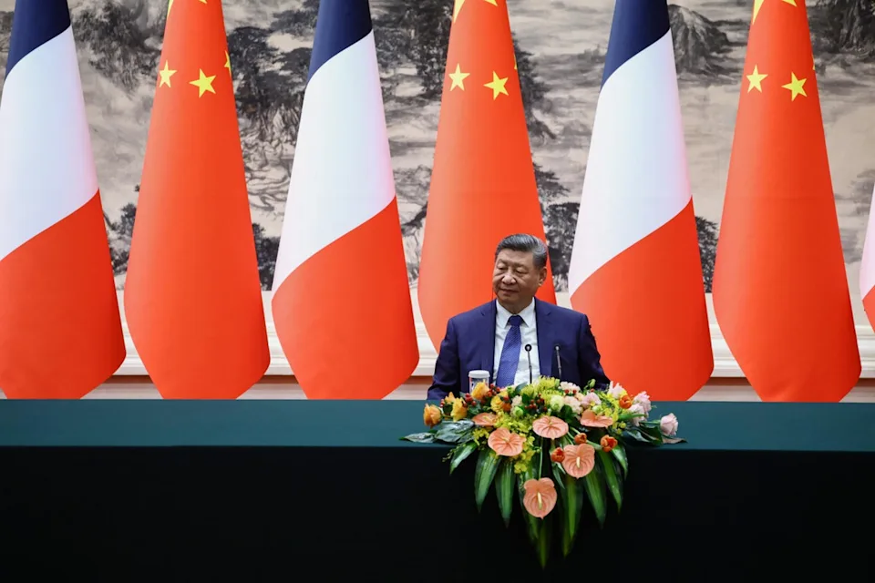
For some years now, Chinese President Xi Jinping and his government have pushed emerging industries like artificial intelligence as a key pillar of the country’s future prosperity.
The company has also posted imagery of Israeli air defence positions during the war.
On March 13, the company celebrated its fifth anniversary, saying, “For the first time, Chinese satellites have captured images of US Air Force F-22 fighter jets parked at an Israeli air force base. Truly astonishing!”
It has repeatedly posted images detailing planes and vessels at the island of Diego Garcia in the Indian Ocean, where the US and UK have a shared military base.
It also shared an image of Iranian drone carrier IRIS Shahid Bagheri, without stating its location, on February 2, and others of Iranian drones in the Gulf of Oman the same day.
In mid-February, it posted a map of the path of Australian navy frigate HMAS Toowoomba as it travelled through Asia. This was posted the same day that publicly available tracking data shows the vessel entering the Taiwan Strait.
MizarVision posted imagery tracking an Australian navy vessel. (Supplied: MizarVision)
About two weeks later, a helicopter from that vessel was involved in an incident with a Chinese Navy helicopter in international waters in the Yellow Sea.
The Australian Defence Force accused the Chinese helicopter of an “unsafe and unprofessional manoeuvre”, while China’s Defence Ministry claimed they were “endangering” its national security.
China has one of the most comprehensive censorship regimes in the world.
However, MizarVision has continued to post satellite images dating back many months.
These include what it says is an analysis of construction progress at the new manufacturing plant of semiconductor firm TSMC, one of the world’s most important tech companies.
MizarVision has published imagery of Taiwan’s Semiconductor Manufacturing Company, the world’s largest dedicated independent semiconductor foundry. (Supplied: MizarVision)
“Satellite imagery collection was in the purview of just a handful of governments a few decades ago. Now, an individual can task a satellite to take an image virtually anywhere on Earth with a laptop and a credit card,” Mr Dahm said.
The Australian Department of Defence said for operational security reasons it would not comment on specific military movements, nor the work it was doing with international partners to keep about 100 Australian troops deployed in the Middle East safe.
The Israel Defense Forces declined to comment.
The ABC contacted the Pentagon and Taiwanese authorities for comment.
Loading…